
Follow the Blackwater to Surrey, Hampshire and Berkshire


The Blackwater Valley Path follows the River Blackwater from its boggy source in Aldershot to its end at the River Loddon in Swallowfield, near Reading. Along the way are meadows, nature reserves and woodland, as well as the occasional play area.
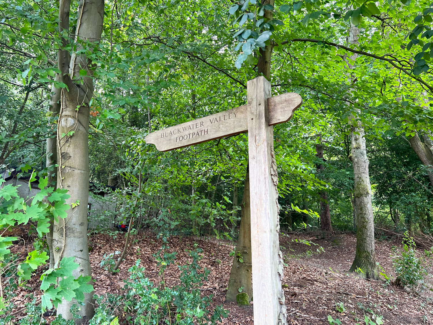
The Blackwater Valley Path
The Blackwater Valley Path is 23 miles long, marked by signposts and divided into 12 sections. These sections follow the river, are not circular and do not finish where they start.

The Twelve Sections
Section 1: Rowhill Nature Reserve to Pea Bridge

Section 2: Pea Bridge to Shawfields

Section 3: Shawfields to Hollybush Pits

Section 4: Hollybush Pits to Coleford Bridge

Section 5: Coleford Bridge to the M3 Bridge

Section 6: M3 Bridge to Blackwater Park

Section 7: Blackwater Park to Sandhurst Station
Section 8: Sandhurst Station to Grove Lake
Section 9: Grove Lake to Longwater Road
Section 10: Longwater Road to Eversley Bridge
Section 11: Eversley Bridge to Jouldings Lane
Section 12: Jouldings Lane to Swallowfield
The Paths
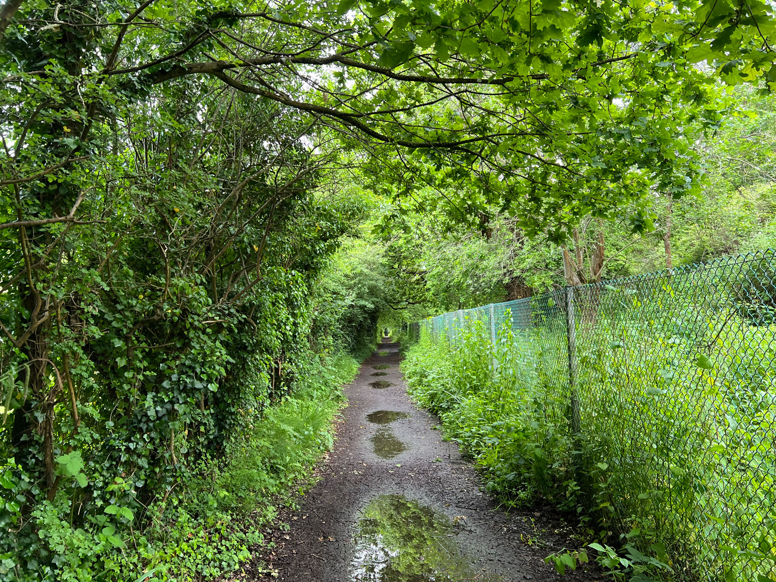
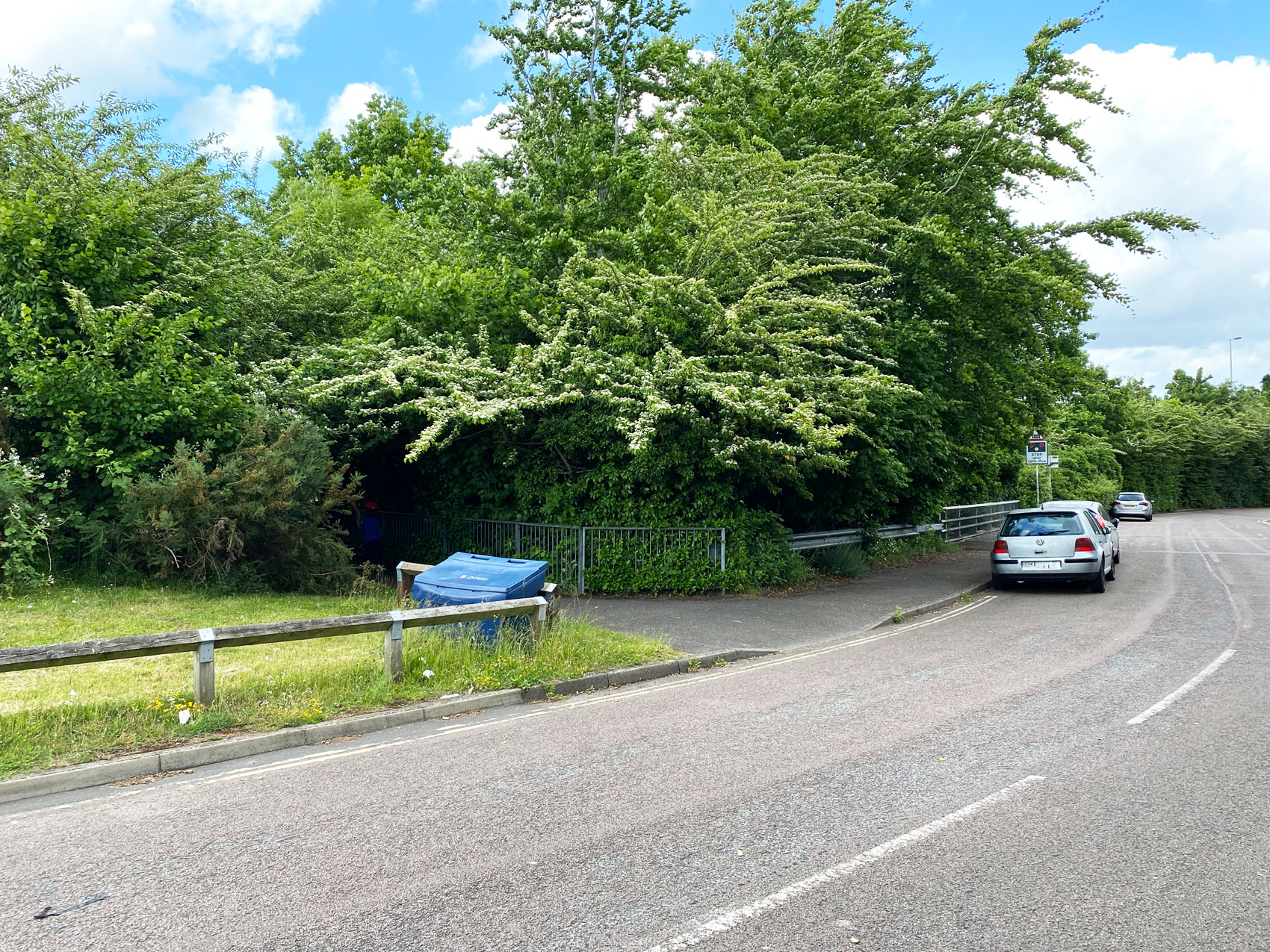
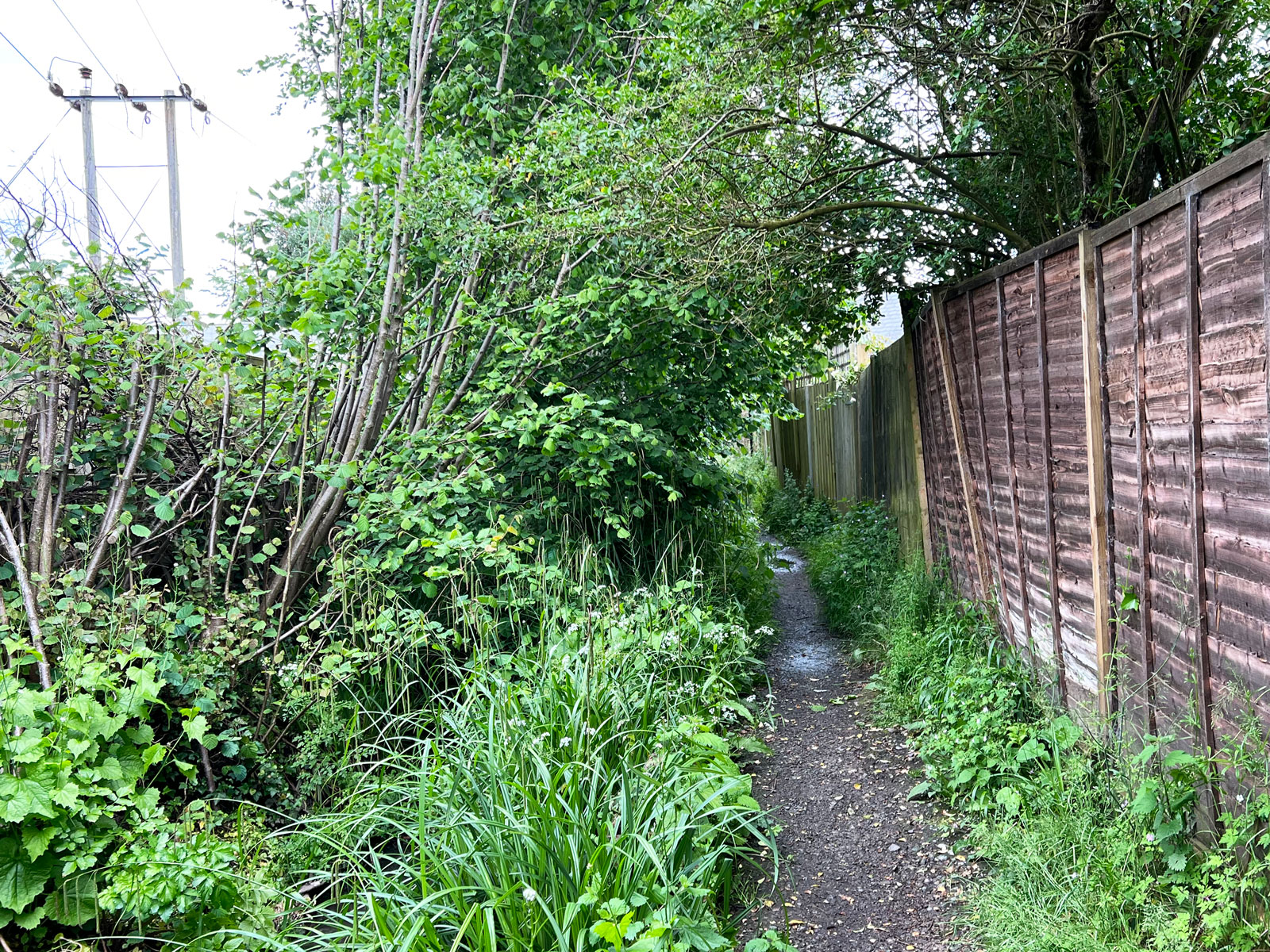
Most of the paths are flat and easy to walk along.

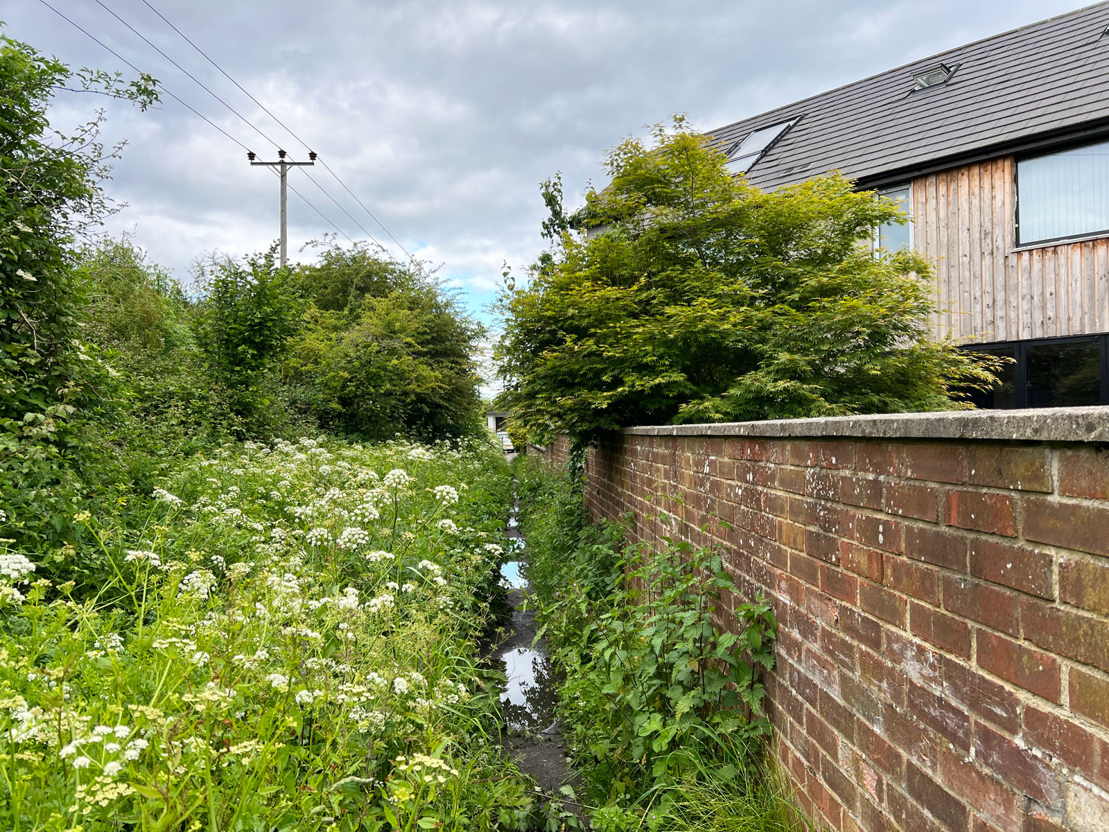
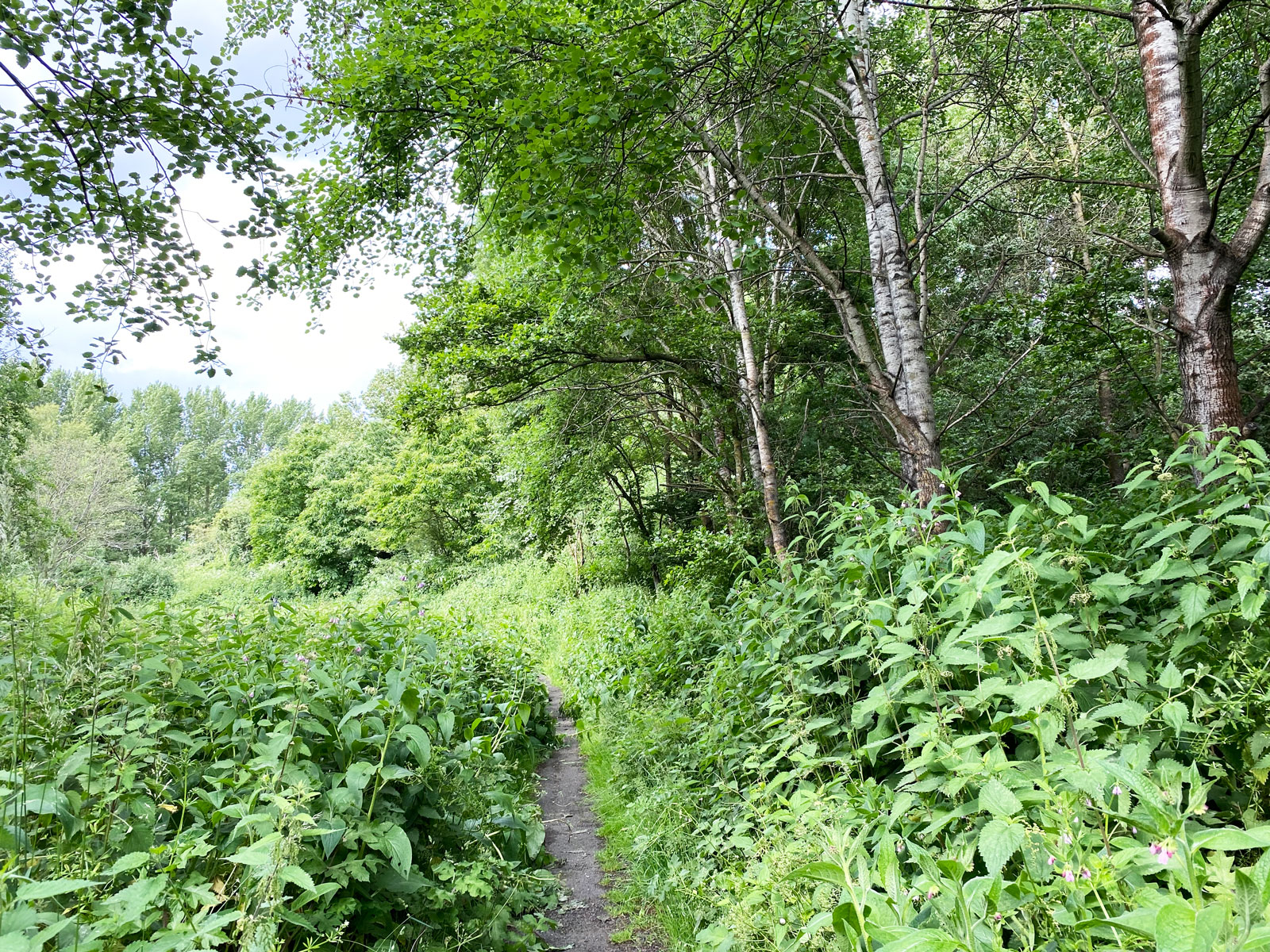
Some stretches can be muddy after wet weather.


or lined with stinging nettles.

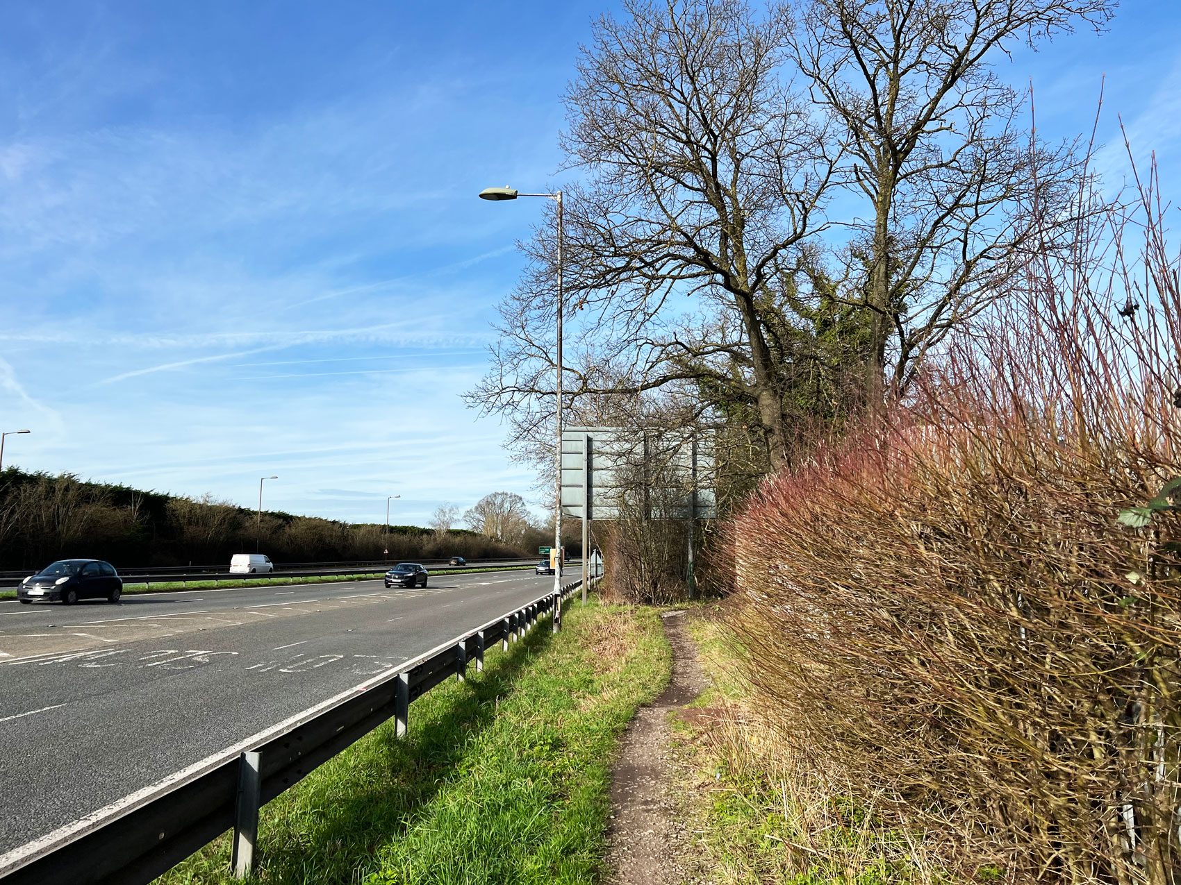
Some run next to the A331 dual carriageway.

Others involve crossing roads. Please do this with care.

Multi-User Surfaces
Sections 2 to 5 have a hardened surface suitable for multi-users, including wheelchairs, bikes and pushchairs.

Cycling
Cycling is permitted between Sections 2 and Blackwater Park, which is about halfway along Section 6.

Scooters
I have scooted from Section 2 to the start of Section 6 but would not do it again as the surfaces can be too uneven for little wheels.

The A331 Blackwater Valley Relief Road
The A331 was built along the River Blackwater and Sections 2 to 5 of the path run alongside this dual carriageway.

These stretches can be very noisy and have an industrial feel.

Blackwater Valley Countryside Trust
The Blackwater Valley Countryside Trust look after and protect the natural environment of the Blackwater Valley.

Their website has useful information and also full details of the Black Water Valley Path.

Visit the Black Water Valley Path website
Further Information
Nearest Town: Various depending on which section you visit. Please see the individual sections for full details.
County: Surrey, Hampshire and Berkshire
Nearest Postcode: Varies depending on which section you visit. Please see the individual sections for full details.
Opens: Daily
Cost: Free
Where to Eat: Bring a picnic or stop along the way.
Facilities: None
How Long We Spent There: Usually a couple of hours on one section.
Buggies: Buggy friendly
Parking: Various depending on which section you visit. Please see the individual sections for full details.
Cost of Parking: Free
Wildlife You Might See: Kingfishers, birds, badgers, lizards, ducks, Canada geese, swans, coots, moorhens, butterflies and other insects.
Information Written: May 2024
Ratings
The Blackwater Valley Path has too many sections to be able to summarise all 23 miles accurately. Instead, please see the 12 sections for individual summaries.
You May Also Like


Before taking part in any activities or visiting any places listed, you should make appropriate checks to ensure high quality provision, a safe environment is provided and to check all these details are up to date before you visit and/or take part. We accept no liability (to the fullest extent permitted by law) for the quality of the activities provided or places listed or for the accuracy of any information given.


